2 hour return | 2.5km one way | Bay of Plenty
I set myself a challenge this year to go out hiking or camping every weekend of the year. Mainly because it is tradition for me to spend 3 weeks hiking over the Christmas holidays and last year I really felt the toll that an unmotivated winter had taken on my fitness levels! The best thing about the challenge (and my adherence to it) was that as the end of the week was approaching and I started thinking about the weekend ahead, I would be asking "where" I would be going and not "if" I would be going somewhere. That change in mindset also lead me to search for new places rather than going back to the same old tracks time and time again. Maunga Kākaramea was a track that I discovered thanks to the search for somewhere new and it is a gem that is worth sharing!
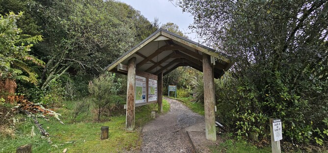
This is a relatively easy track, despite being uphill most of the way. It is well marked and signposted and there are a few points of interest and viewing platforms along the way. I did it on a rainy August day which meant the views weren't as great as they could have been, but as you are in the bush most of the way up you are also protected from the rain quite well, so it was a good option for the conditions.
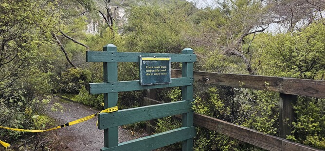
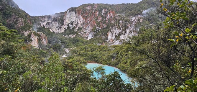
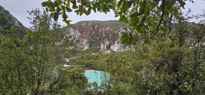
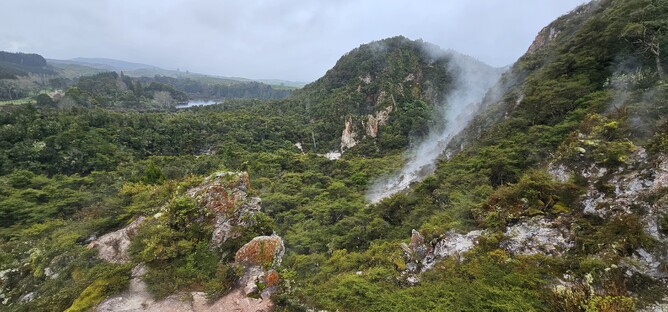
Around 5 minutes in to the walk there is a side track to view the stunning turquoise lake becomes the centre point for most of the walk. Unfortunately at the time of doing the track, the side track was closed due to repair work that was being undertaken. However, you do get to see the lake from above as you continue on along the main track (pictured below).
I kept trying to shoot off to the left to get another glimpse of the lake, but the shrubs kept it well hidden for a large period of the walk. Then however you break out onto a more open section of track and along the edge of the rocks you can see a little path where people have previously ventured off to get a good view. I followed this and was greeted by the sight of steam drifting up from cracks in the red rock and a beautiful view out onto the rolling green hills. Unfortunately you don't get a view of the lake from here though.
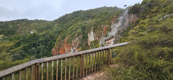
From here, the track continues up through the bush for another 30 minutes before coming up to a viewing platform that gives you similar views out across the surrounding landscape. After another 10 minutes you have made it to the top!
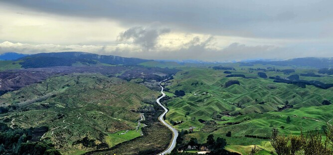
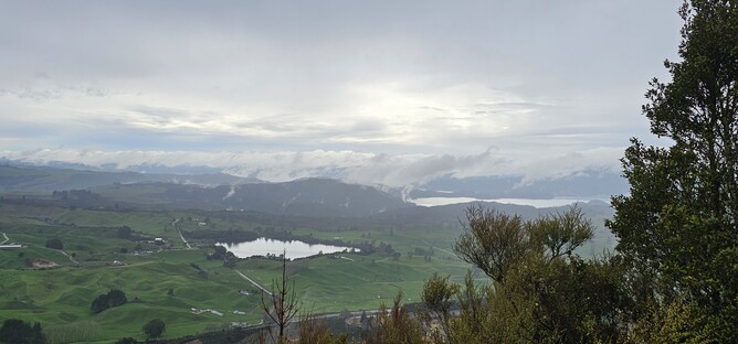
At the top you will find a building which unfortunately we can't access. However, signs around the edges tell you what you are looking at and the views are beautiful. In one direction you can see Mountt Tarawera and Lake Tarawera, Rotomahana and Rerewhakaaitu. To the West you can see the Paeroa Range and if you are lucky to the East you see the Urewera Ranges and Kaimanawa Forest. On a good day you can also see out to the mountains of the Tongariro National Park and Lake Taupo, but on this occassion I was limited to the closer views only.
You return the same way you came up and thanks to the well formed track it is a nice quick descent back to the car park. This is a shared use track with Mountain Bikers so you do need to be careful at times that you are aware of other users around.
Parking: There is a well signposted car park off the SH38. Google maps will take you to the right place if you search for the track start.
Overnight Options: None